10 Top Classroom Geography Activities That Work
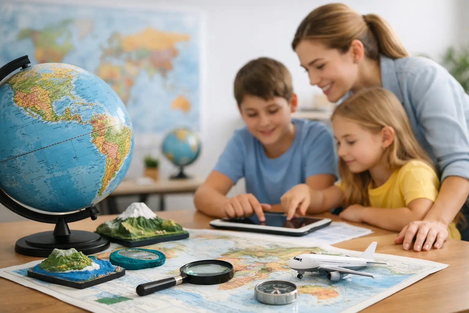
A blank map can make even confident students hesitate. Add a timer, a clue, or a tiny piece of a flag, and suddenly the room has a mission. The best top classroom geography activities do more than test recall. They give students a reason to notice where places are, how countries connect, and why the world is bigger than a set of labels.
Geography works especially well as a game because progress is visible. A student who cannot name a country on Monday may spot its flag, capital, or neighboring region by Friday. Keep the rules simple, let students make guesses, and make room for the interesting wrong answers.
Top Classroom Geography Activities for Active Learning
1. Run a daily flag reveal
Show a flag with most of it covered, then reveal one section at a time. Students get three guesses to name the country. They can write answers privately, work in pairs, or make a quick class vote before each reveal.
This activity takes less than five minutes and builds a useful daily habit. After the answer, ask one follow-up question: Which continent is it in? What is its capital? Which colors or symbols stood out? A tool like Flagdle fits this format nicely because the challenge is quick, shared, and built around limited guesses.
2. Turn the map into a mystery board
Choose one country and give students clues from broad to specific. Start with a region, then add a border, language, major landmark, climate detail, or capital-city hint. Students should make their best guess before every new clue.
The key is to reward smart reasoning, not only first-place speed. A student may not know the answer immediately but can narrow it down by recognizing that a landlocked country in southern Africa cannot be an island nation. That is real geographic thinking.
3. Create a human compass challenge
Put north, south, east, and west signs on four classroom walls. Name a location, then ask students to face or move toward the direction of another location from it. For example, ask, “Is Mexico north, south, east, or west of Peru?”
Use this as a fast reset between longer lessons. It gets students moving while reinforcing relative location. For younger groups, stick to broad directions. Older students can handle northeast and southwest, or explain why their answer changes when the starting point changes.
4. Play capital city matchups
Give half the class country cards and the other half capital cards. On the signal, students circulate and find their match. Once paired, they locate the country on a wall map or classroom atlas.
The movement makes basic matching feel less like a worksheet. To extend the game, have each pair share one extra fact, such as the country’s continent, flag colors, nearby sea, or population range. Avoid turning every round into a fact race. One memorable connection is better than ten facts students forget by lunch.
5. Build a border detective game
Give students a country outline or name, then challenge them to identify its neighbors. Start with countries that have clear shapes or a manageable number of borders, such as Portugal, Thailand, or Kenya. Later, introduce tougher cases such as the Democratic Republic of the Congo or Russia.
Maps should stay visible for the first few rounds. The goal is not to make students feel caught out. It is to help them notice patterns: coastal countries, island nations, enclaves, long borders, and regions where many countries sit close together.
6. Use postcard clues from around the world
Read a short fictional postcard without naming the location. A postcard from “Maya” might mention riding a train past Mount Fuji, seeing cherry blossoms, and eating ramen. Students identify the country, then point to it on a map.
This works because it connects place to daily life, food, landscape, and culture. Keep clues respectful and specific. Avoid reducing a country to one stereotype or one famous attraction. A better prompt includes several details and leaves room to discuss regional variety within the country.
7. Host a geography relay
Set up stations around the room with short tasks: match a flag, place a city, identify a continent, order countries by size, or solve a distance-and-direction clue. Teams rotate after a set time, earning points for accurate answers and clear explanations.
Relays bring energy, but they need a fairness check. A purely speed-based game can favor the loudest or fastest students. Give teams a recorder, a map reader, a clue solver, and a checker, then rotate roles. Accuracy bonuses help thoughtful teams stay in the game.
8. Make a travel route with a budget
Give students a fictional budget and a starting city, then ask them to plan a route across three to five countries. They must choose transportation, estimate direction, identify borders or bodies of water crossed, and explain one reason for each stop.
This is a strong activity for older elementary students through high school because it blends physical and human geography. The route does not need real ticket prices to teach useful ideas. What matters is that students explain the trade-offs: flying may be faster, trains may connect nearby cities, and an ocean changes the plan.
9. Try “Which country am I?” interviews
One student secretly chooses a country. Classmates ask yes-or-no questions until they can identify it. Encourage questions that reveal geography: “Are you in Africa?” “Do you border the Mediterranean?” “Are you larger than Texas?” “Is Spanish an official language?”
Post a question limit so students think strategically. This format quietly teaches classification and elimination. It also shows why vague questions, such as “Are you famous?” are less useful than questions tied to location, language, climate, or political geography.
10. End with a one-minute map memory test
At the end of class, show a regional map for 30 seconds. Hide it, then ask students to label as many countries, capitals, or physical features as they can remember. Repeat the same region later in the week and let students compare their own improvement.
This is not a high-stakes test. It is a quick way to make retrieval practice feel like a personal challenge. Students do not need a perfect score to see progress, and repeated exposure helps the map become familiar rather than intimidating.
How to Choose the Right Geography Game
Match the activity to the skill you want students to practice. Flag games are great for visual recognition. Mystery clues develop reasoning. Relays and matching games add movement. Route planning and border detective tasks work best when students already have basic map confidence.
Also consider the time you actually have. A daily flag reveal can fit into a four-minute warm-up. A travel route can carry a full class period. Short games build consistency; longer projects build context. A good geography routine usually uses both.
Keep Competition Friendly
A little competition creates focus. Too much can make students stop guessing. Use team points, personal bests, or class goals alongside winners. Celebrate useful thinking aloud: a student who says, “It cannot be Chile because the clue says it borders Brazil,” has earned a win even if the final answer is wrong.
Maps reward curiosity. Give students repeated chances to look, guess, revise, and try again. Before long, the question shifts from “Where is that?” to “What else is nearby?” That is the kind of daily progress that sticks.