Country Silhouette Quiz Skills You Can Build
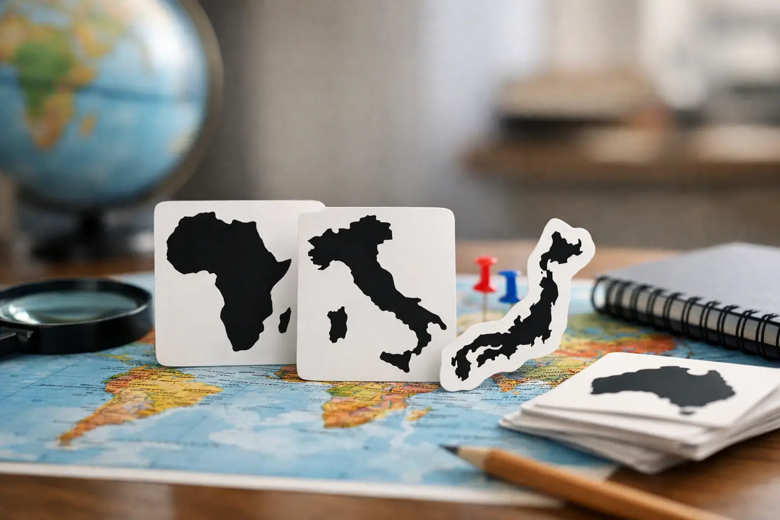
A country silhouette quiz gives you almost nothing to work with: no flag colors, no capital-city hint, no neighboring countries labeled on a map. Just an outline. That is exactly what makes it fun. A familiar shape can feel obvious in one second, then completely mysterious when it is rotated, cropped, or shown without its islands.
The good news is that recognizing country outlines is not a talent reserved for geography experts. It is a pattern-recognition skill. Play often enough, notice the right details, and your guesses become faster for a simple reason: you stop seeing a random blob and start seeing useful clues.
What a country silhouette quiz actually tests
Flags often provide instant shortcuts. A country may have a distinctive color combination, symbol, or stripe pattern. Silhouettes remove those shortcuts and ask a different question: what does this place look like on a map?
That means the strongest players do not rely only on memory. They compare proportions, coastlines, borders, and standout features. Is the country long and narrow? Does it have a broad northern section and a thin southern tail? Is it mostly square, sharply triangular, or broken into islands?
The challenge also rewards geographic context. If you know that one country wraps around another, reaches across a peninsula, or has a famously unusual coastline, the silhouette becomes more than a shape. It becomes a map story.
This is why silhouette games work so well as quick learning tools. One round takes seconds, but every wrong answer gives your brain a new visual reference. Over time, countries stop being names on a list and become places with recognizable forms.
Start with the biggest shape clues
When the outline appears, resist the urge to name the first country that comes to mind. Take a quick scan for the feature that would still stand out if the silhouette were tiny.
Look at the overall direction
First, ask whether the country is taller than it is wide, wider than it is tall, or stretched diagonally. Chile is a classic vertical strip. Italy runs down a long peninsula. Mongolia has a wide, compact spread. These broad proportions eliminate a surprising number of possibilities before you focus on smaller details.
Direction can be misleading when a quiz rotates an image, so do not let it settle the answer alone. Treat it as an opening clue, not proof.
Find the part that breaks the pattern
Most country silhouettes have one detail that does the heavy lifting. It might be a peninsula, a hook, a narrow corridor, a deep bay, or a detached island group. Croatia's coastline is memorable because it bends around the Adriatic. The Gambia is strikingly thin and follows a river corridor. Namibia has a narrow northeastern extension that changes its entire outline.
Look for the weird part first. A nearly rectangular country may be hard to identify. A rectangle with one long arm or notch is much easier.
Separate coastlines from land borders
A jagged coast and a jagged land border can look similar at a glance, but they suggest different regions. Islands, fjords, and bays create irregular coastlines. Straight segments often point to borders shaped by latitude, longitude, or historical boundary lines.
Countries such as Egypt, Chad, and Botswana can appear relatively geometric because parts of their borders follow straight lines. Countries in Southeast Asia, the Caribbean, and parts of northern Europe may be harder because water creates more complex edges. Neither type is automatically easier. The useful move is noticing which kind of edge you are seeing.
Use regional knowledge without overguessing
A silhouette quiz is not only a shape quiz. It is often a quick regional deduction game. Once you think an outline belongs to a certain part of the world, compare it against the countries that share that region.
For example, a long, narrow shape may bring South America to mind. Before choosing Chile, check for its key feature: an extremely thin north-to-south profile with a long Pacific edge. A wide southern cone might instead be Argentina. A more compact shape with a distinct central bulge could be another country entirely.
This approach is especially useful with lookalikes. Several countries have boxy outlines. Several have a single peninsula. Several are made of islands. The goal is not to find a match that feels plausible. It is to find the feature that rules out the other plausible matches.
Be careful with a common trap: guessing a famous country whenever an outline feels vaguely familiar. Large countries get more attention in school maps, so they come to mind first. But many quizzes become difficult precisely because the answer is a smaller or less frequently studied country with a similar general shape.
Build a mental library of signature outlines
You do not need to memorize every border at once. Start with countries that have strong visual identities, then add similar-looking neighbors around them.
Think of familiar examples as anchors. Italy has the boot-like peninsula. Japan forms a curved island chain. Madagascar is a long island off Africa's southeast coast. Norway has a thin, stretched profile and a deeply indented western edge. South Africa has a broad shape with the unmistakable complication of Lesotho inside it, although an exterior-only silhouette will not always show that detail.
After learning an anchor, study the contrast. What makes Portugal different from Spain? How does Laos differ from Vietnam? Why would Uruguay be confused with Argentina, and what separates them? Contrast creates stronger memory than studying one country in isolation.
A useful routine is to revisit missed countries the next day. Do not just read the answer and move on. Take five seconds to name one feature you will remember: thin west coast, horn-shaped peninsula, island chain, straight northern border, or a long eastern extension. That small label gives the outline a hook in your memory.
Make your guesses more strategic
If a game gives you multiple tries, do not spend them as random shots. Use each guess to test an idea.
Suppose the silhouette seems like it could belong to southern Africa. A first guess can confirm whether you are thinking in the right region. If it is wrong, shift deliberately to nearby shapes rather than jumping to another continent. If the outline has a long coast, compare coastal countries. If it looks nearly landlocked, focus on compact interior nations.
This does not mean every miss needs a long analysis. Daily geography games are better when they stay quick. The point is to make a wrong answer productive. One thoughtful miss teaches more than three guesses based on a vague visual feeling.
It also helps to watch for scale. Tiny island nations can look like a single irregular speck, while larger archipelagos may appear as scattered pieces. If the quiz includes overseas territories or distant islands in the full outline, a country may look very different from the shape you expect from a classroom map. Read the game rules when available, because silhouette conventions vary.
Practice in short rounds
Long study sessions are not required. A daily puzzle is enough to build momentum because it asks you to retrieve knowledge repeatedly. That retrieval is where recognition becomes fast.
Try a simple three-part habit. Play the day’s outline, identify the one clue you missed or used correctly, then spend a minute comparing the answer with one nearby country. The whole routine can fit into a break, but it steadily improves both map knowledge and confidence.
Mixing formats helps, too. Flag clues teach visual symbols. capital challenges connect countries to cities. Distance and direction games strengthen regional placement. A country silhouette quiz brings those pieces together because shape becomes easier to remember when you also know what sits nearby. Flagdle’s geography games make that kind of varied practice easy to keep fresh.
When silhouettes are genuinely tricky
Some misses are not a sign that you are bad at geography. They are hard because the map itself is complicated. Island nations may be simplified. Borders can be disputed or displayed differently. A silhouette may exclude small islands, lakes, or enclaves. At a very small size, even a distinctive country can lose the detail that makes it recognizable.
There is also a trade-off between speed and accuracy. Fast players lean on visual instinct, which is great for obvious outlines. Slowing down for two extra seconds is often smarter when the shape could match several countries. The best approach depends on the game: a timed round favors quick pattern recognition, while a daily puzzle gives you room to compare clues.
The next time an unfamiliar outline appears, do not treat it as a dead end. Pick out one strange edge, one broad proportion, and one regional possibility. Even if the answer surprises you, that silhouette will be easier to spot the next time it appears.