Distance and Direction Geography Game Basics
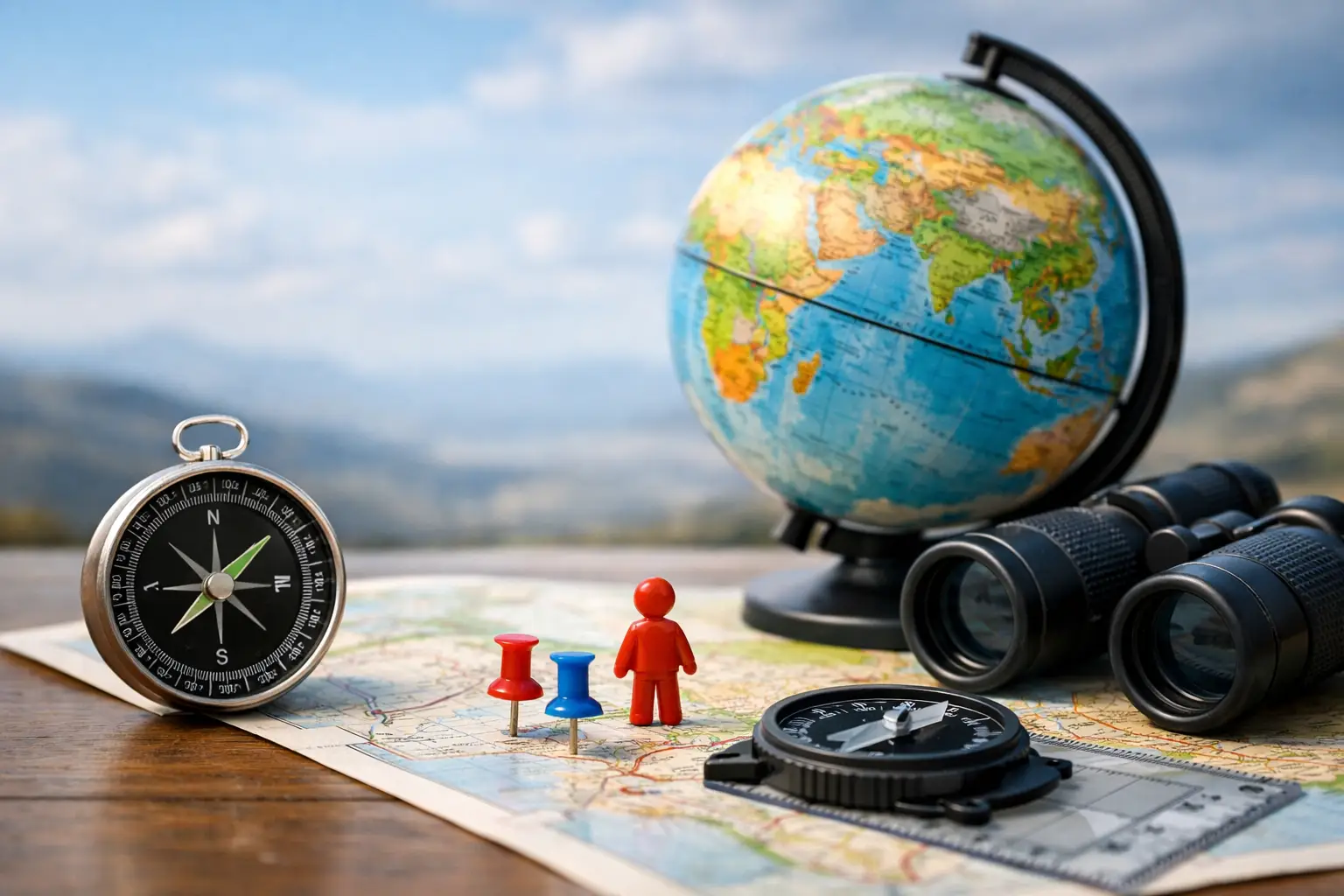
A wrong guess is not the end of the puzzle. In a distance and direction geography game, it is your first map clue. If your answer is 1,200 miles northeast of the mystery country, you have already narrowed the world down. The next guess is where the real fun starts.
This game format turns geography into a quick logic challenge. You do not need to memorize every border, mountain range, or capital to enjoy it. You just need to notice what each clue rules out, make a better next guess, and let the map come into focus one move at a time.
Why Distance Clues Make Geography More Fun
Flag quizzes reward recognition. Capital games reward recall. Distance-and-direction puzzles reward reasoning. That difference matters because it gives every player a way forward, even when the hidden country is unfamiliar.
Say your first guess is Brazil. The game tells you the answer lies far to the east and slightly north. Brazil is now out, but so are most of South America and much of the Atlantic. Your next guess does not have to be perfect. It only has to test the right part of the map.
The best rounds feel like solving a tiny travel mystery. A direction points you toward a region. A distance tells you how far to move. A second or third clue can reveal whether you are looking at a neighboring country, a different continent, or a small island that was easy to overlook.
That makes this format especially useful for learning. You are not only seeing country names. You are building a mental sense of where places sit in relation to one another. Over time, Kenya stops being a name you remember from a quiz. It becomes a country south of Ethiopia, inland from the Indian Ocean, and a useful reference point for East Africa.
How a Distance and Direction Geography Game Works
The core rule is simple: make a country guess, then use the distance and direction between your guess and the answer to improve it. The exact display can vary by game, but the information usually answers two questions: How far away is the mystery country? Which way should you travel to reach it?
Direction may appear as a compass point such as north, southwest, or east. Some games use an arrow instead. Distance is commonly shown in miles or kilometers. Together, those clues are more powerful than either one alone.
A clue that says 80 miles west suggests a nearby country and a local border question. A clue that says 4,000 miles southeast signals a major jump across the globe. Treating both clues the same is the fastest way to waste a guess.
Read Direction Before Distance
Direction gives you the broadest first filter. If the answer is west of your guess, do not make another guess to the east just because that country feels familiar. Follow the arrow.
Think in regions before individual countries. If your guess is in Central Europe and the answer is southwest, your search might move toward the Mediterranean, North Africa, or the Iberian Peninsula. You do not need to identify the answer immediately. You are choosing the next spot that gives you the most useful new information.
Diagonal directions deserve extra attention. Northwest does not mean only north or only west. It means both. A country that is directly north may be closer, but still fail the direction clue. This is why a rough world map in your head is more valuable than isolated country facts.
Use Distance as a Map Ring
Distance works like an invisible ring around your guess. If the answer is roughly 500 miles away, the target should be somewhere near the edge of that ring. If it is 5,000 miles away, nearby countries are no longer worth considering.
You do not need perfect mileage estimates. Start by learning useful scale. Countries within the same small region may be tens or hundreds of miles apart. Crossing a continent often takes thousands. Crossing an ocean usually takes more.
Island nations are where distance becomes especially helpful. A direction might tell you to look east from mainland Asia, but a large distance can separate Japan from the Philippines, Indonesia, and Pacific countries. The mileage gives the clue its shape.
Remember That Country Centers Are Not Borders
Distance games generally calculate from a representative point within each country, often near its geographic center. That can create clues that feel slightly surprising. Two countries may share a border but still show a meaningful distance, particularly when one country is large.
Do not overcorrect based on a few miles. The point is not to measure a map with ruler-level accuracy. Use the numbers to make strong regional decisions, then use each new result to refine your path.
A Better Way to Make Every Guess Count
Random country hopping can occasionally win, but it teaches very little and makes long streaks hard to build. A stronger approach is to use each turn as a test. Your first guess establishes a starting point. Your second should move decisively in the indicated direction. Your third should respond to both clues, not just the latest number.
A practical round often follows four moves:
- Start with a country you can place confidently on the map.
- Use the first direction to jump into the likely region, not just the nearest country.
- Compare the new distance with the old one to see whether you moved closer or farther away.
- Use the final clue to choose between the remaining countries in that direction.
For example, imagine you begin with Mexico and learn the mystery country is far southeast. Colombia may be a smart second guess because it tests northern South America. If the answer is then much farther east, your attention should move across the Atlantic rather than deeper into South America. The clue is not asking you to name every country at once. It is asking you to eliminate large areas quickly.
This is also why a familiar anchor country is usually better than an obscure first guess. The value of a guess comes from what you can learn from its result. If you know where Canada, Egypt, India, South Africa, Brazil, and Australia are, you have reliable reference points across the map.
Common Mistakes That Keep Players Stuck
The most common mistake is chasing the last country name that came to mind. A clue may point northeast, but players often guess a country they recently studied even if it sits northwest. Familiarity is useful only when it matches the map.
Another mistake is treating a moderate distance as proof that the answer is a neighbor. A few hundred miles can still cover multiple countries, especially in Europe, the Caribbean, Southeast Asia, and parts of Africa. Small countries make regional precision matter more.
It is also easy to forget the ocean. If a direction points east from West Africa or west from Europe and the distance is large, do not keep searching on the same landmass. A long-distance clue may be inviting you to make a continent-sized move.
Finally, avoid reading every clue in isolation. The answer must fit all of them. If your first guess says southeast and your second says northwest, the target is likely between those two positions. The puzzle becomes much easier when you picture the clues as lines narrowing toward one spot.
Learn Geography Without Studying a Map
A daily geography game works because it makes repetition feel light. You may spend only a few minutes on one puzzle, but those minutes add up. Countries that once felt interchangeable begin to form clusters. You start recognizing the long north-to-south shape of Chile, the island spread of Indonesia, or how close the Balkans are to the eastern Mediterranean.
The learning is strongest when you pause after the answer appears. Ask one quick question: What clue should have made that country obvious sooner? Maybe the distance from your first guess was much larger than expected. Maybe you forgot that a country was landlocked. Maybe the direction was right, but you stopped one region too early.
That small reflection is enough. There is no need to turn a game into homework. Flagdle is built around this kind of quick, repeatable play: a clear challenge, useful feedback, and one more piece of world knowledge you can carry into tomorrow's puzzle.
Make the Map Feel Smaller
The goal is not to become perfect at every country on day one. It is to make smarter guesses than you made yesterday. Start with places you know, trust the direction, respect the distance, and let missed answers teach you a new connection on the map. A few minutes of play can turn the world from a list of names into a place you can actually navigate.