Country Hints Versus Map Clues: Which Wins?
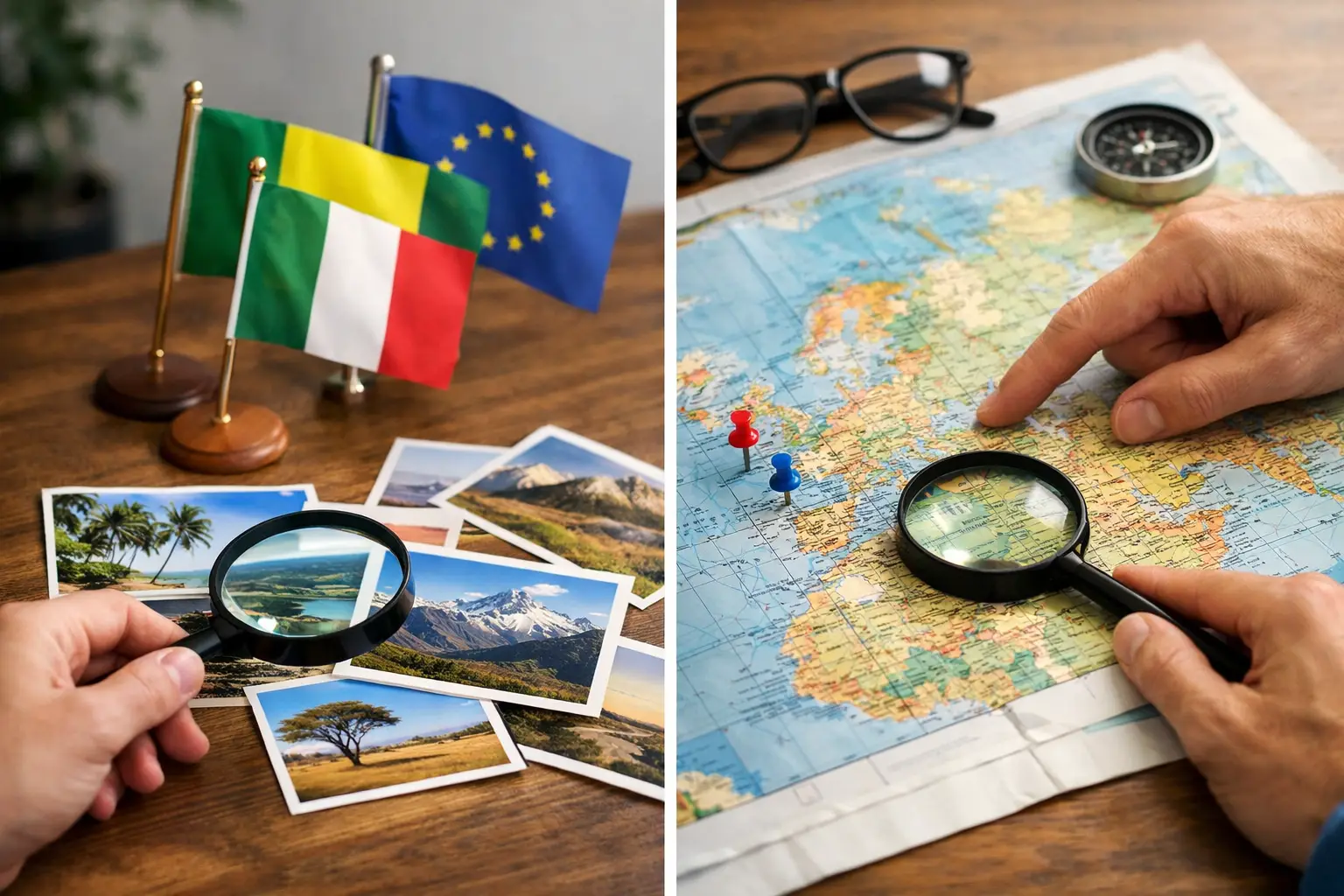
A country can feel obvious when you see its outline on a map, then completely disappear from memory when all you get is a clue about coffee, coastlines, or a neighboring capital. That is the fun of country hints versus map clues: they may ask you to find the same answer, but they test very different parts of your geography brain.
Neither format is automatically harder. It depends on what you already know, how you learned it, and whether you are good at connecting facts under a little pressure. One player sees “landlocked in Central Asia” and immediately thinks Kyrgyzstan. Another needs a map, a border, or a rough location before the country clicks.
The best geography games use both. They turn memorized facts into usable knowledge, then give you a reason to come back tomorrow and try again.
What Country Hints Actually Test
Country hints give you a trail of information. A puzzle might mention a language, currency, landmark, population, climate, capital city, hemisphere, or border. Your job is to narrow a huge world down to one answer.
This is less about visual recognition and more about association. You may know that Portuguese is spoken in Brazil, Angola, Mozambique, Portugal, and several smaller countries. The next hint is what matters. If the clue mentions the Southern Hemisphere and a long Atlantic coast, Brazil becomes the stronger guess. If it mentions Luanda, the answer is Angola.
Good hint-solving relies on building a mental web, not collecting random trivia. The useful question is not “Have I heard this fact?” It is “Which countries could this fact describe, and what would separate them?”
That makes country hints especially satisfying for players who enjoy deduction. You are not simply recalling an answer. You are ruling out possibilities. A clue about being an island nation might leave dozens of options. Add “in the Indian Ocean,” then “its capital is Malé,” and the answer snaps into focus.
Hints can also be forgiving. If your first thought is wrong, the next clue gives you a path to recover. That makes them a strong fit for learners who are still building confidence. You do not need to recognize every country at a glance to make real progress.
What Map Clues Ask You to Notice
Map clues work differently. They put geography in its natural setting: location.
Sometimes the clue is an outline. Sometimes it is a highlighted country, an arrangement of borders, a nearby body of water, or the position of a capital. Instead of asking what you know about a country, the map asks whether you can place it.
This format rewards spatial memory. You begin noticing that Chile is a narrow strip against the Pacific, that Italy reaches into the Mediterranean like a boot, and that the countries of southern Africa fit together in a particular pattern. At first, you may rely on famous shapes. Over time, you start recognizing the less obvious signals: a border with five countries, a coastline that faces east, or a small nation enclosed by a larger one.
Map clues can feel tougher because they offer less language to hold onto. A map does not tell you that a country exports cocoa or uses a particular alphabet. It gives you visual evidence and expects you to read it quickly.
But that challenge has a big payoff. Knowing where a country is makes many other facts easier to retain. When you learn that Nepal is north of India, or that Uruguay sits between Brazil and Argentina, those facts gain a home. They stop floating around as isolated answers.
Country Hints Versus Map Clues: The Real Difference
The simplest difference is this: country hints test connections, while map clues test placement.
Hints ask, “What does this country have?” Map clues ask, “Where does this country belong?” Both questions matter because real geography is never only one thing. A country is its location, borders, people, language, terrain, history, food, cities, and relationships with nearby places.
The trade-off is that hints can reward fact recall without proving that you can locate the country. You may know that Bhutan measures Gross National Happiness, yet not be able to point to it between India and China. Map clues have the opposite weakness. You might identify a country’s shape but know almost nothing about the people who live there.
That is why a player who dominates one mode may struggle in the other. It does not mean they are bad at geography. It means their knowledge is stored in a different way.
A useful goal is to connect the two. When a hint reveals the answer, take one extra second to picture its region. When a map puzzle reveals a country, attach one memorable fact to it. This small habit turns a correct guess into knowledge that is more likely to stick.
When Hints Are the Better Choice
Choose a hint-based country game when you want a little more reasoning in your daily puzzle. It is a great format when you have learned facts from travel videos, school, sports, food, news, or previous trivia games and want to see whether you can use them.
Hints are also excellent for countries with shapes that are hard to distinguish. Looking at a small country in Europe, the Caribbean, or the Pacific can be tricky, especially on a small screen. A clue about its official language, capital, or nearest neighbor may give you a fairer route to the answer.
They are particularly useful for beginners because each clue can teach as it narrows. Even an incorrect guess creates a useful contrast. If you guessed Laos but the country turns out to be Cambodia, you now have a reason to remember how those two countries differ.
Still, hints can become too easy if they are overly specific. “This country’s capital is Reykjavik” is not much of a puzzle for many players. The best hints start broad, build tension, and reveal enough information to reward logic rather than luck.
When Map Clues Are the Better Choice
Choose map clues when you want to strengthen your sense of the world as a connected place. They are ideal for learning regions that often blur together, such as the Balkans, West Africa, Central America, or the island nations of Oceania.
Maps are also more useful when you want to understand a news story, plan a trip, or follow a sports tournament. If someone mentions a border dispute, a cyclone route, or a neighboring country, location is the context that makes the information meaningful.
For experienced players, map clues often offer a cleaner challenge. A recognizable border pattern can be enough, but only if you have put in the repetitions. There is no keyword to rescue you. You either see the relationship or you do not - yet.
The catch is that maps can punish tiny mistakes. Confusing Slovakia and Slovenia, Niger and Nigeria, or the two Congos is common, especially when labels are absent. That is not a reason to avoid the format. It is exactly where focused practice helps most.
A Better Way to Play Both
You do not need a long study session to improve. A few deliberate moves after each daily game will do more than repeatedly guessing at random.
Try this simple routine:
- Before submitting a guess, name one reason it might be right and one reason it might be wrong.
- After the reveal, find the country’s region in your mind: continent first, then neighbors or nearby water.
- Attach one durable fact to the location, such as a capital, language, flag detail, or major landmark.
- Revisit mistakes later in the week instead of only chasing new puzzles.
This approach works because retrieval builds memory. Struggling briefly to recall a country is not wasted time. It is often the moment when your brain starts making the connection stronger.
Variety helps, too. A flag game may teach you visual symbols. A capital challenge builds city-country links. Country hints strengthen deduction, while map clues train placement. Flagdle’s daily geography modes make that mix easy to practice without an account or a long commitment.
Which Format Helps You Learn More?
If the goal is quick confidence, country hints may feel more rewarding. You can make smart progress from partial knowledge, and every clue gives you another chance to reason your way closer.
If the goal is lasting geographic awareness, map clues have a slight edge. Location acts like a filing system for everything else you learn. Once you know where Senegal is, facts about Dakar, the Atlantic coast, and neighboring Mali are easier to organize.
But the strongest learning comes from alternating formats. Hints give countries personality. Maps give them context. Together, they make a country more than a name you recognize when the answer appears.
Next time a puzzle reveals a country you missed, do not rush past it. Picture where it sits, keep one fact about it, and give yourself a better clue for tomorrow.