How to Read Directional Country Hints Fast
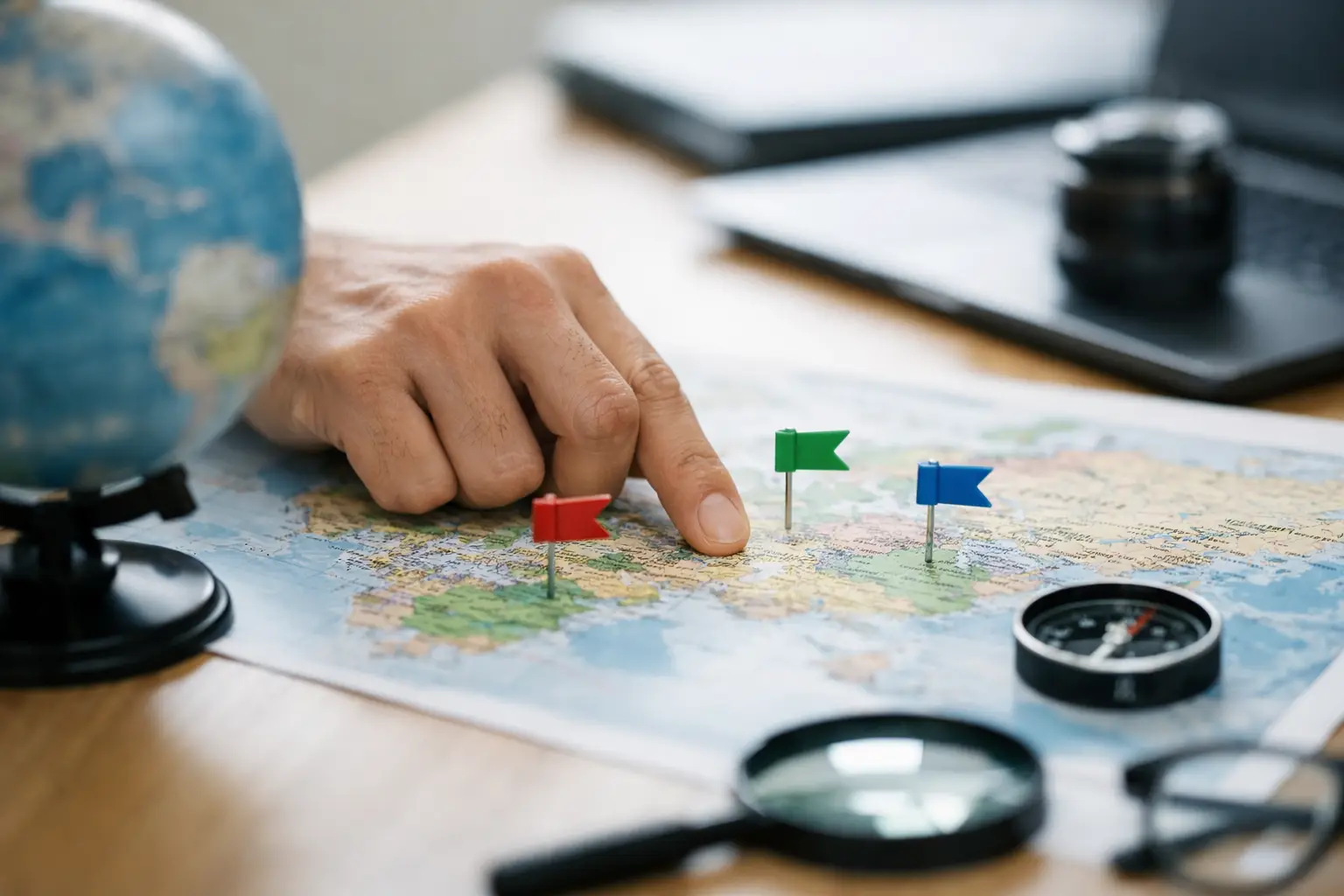
A hint says the mystery country is north of your guess. That sounds simple until you realize half the map might still qualify. The trick to read directional country hints well is not memorizing every capital or border at once. It is learning how to turn one small clue into a smaller, smarter search area.
Directional geography games reward calm elimination. A wrong guess is still useful when you know what the direction, distance, and nearby countries are telling you. With a few repeatable habits, each clue starts to feel less like a vague arrow and more like a map you can narrow down.
What directional hints are really telling you
A directional hint compares your guess with the answer. If the answer is northeast of your country, the target sits both farther north and farther east. If it is directly west, your next guess should move across the map, not just to a neighboring country that happens to feel plausible.
Think in broad map zones first. “North” does not mean “pick any country in the Northern Hemisphere.” It means the answer is north of the country you entered. Guess South Africa and get north? Your answer could be in central, eastern, or northern Africa, Europe, Asia, or beyond. Guess Spain and get north? The realistic field is much tighter.
Distance changes the meaning of direction. A country 100 miles north may be a close neighbor. A country 4,000 miles north may sit on another continent. Treat direction as the angle and distance as the scale. You need both before making a confident follow-up guess.
Read directional country hints in the right order
When a game gives you multiple details, do not jump straight to a country name. Process the clues in a consistent order: direction, distance, region, then borders or other country facts. This keeps a memorable but weak clue from taking over your whole guess.
Start with the direction
Picture the answer from your last guess, not from where you live. If the clue says southeast of Italy, begin at Italy and look down and right on a world map. North Africa, the eastern Mediterranean, the Middle East, and parts of East Africa become more likely than western Europe.
Diagonal directions are especially valuable because they eliminate two large areas at once. “Northeast” rules out everything south and west of your guess. “Southwest” does the same in reverse. Use them aggressively.
There is one catch: world maps can make very large countries feel deceptively close. Russia stretches across a huge distance. Indonesia spans a long east-west line. Canada reaches far north while still covering several time zones. For these countries, use their general center as a practical reference, then let the next clue refine the answer.
Then judge the distance
Distance tells you whether to make a local move or a continental jump. A short distance paired with “east” often points to a neighbor, an island nation, or a country across a narrow sea. A long distance paired with “east” may mean you should cross a region entirely.
You do not need perfect mileage recall. Build rough categories instead. Under 500 miles is close. Around 500 to 1,500 miles is regional. Beyond that, think bigger: another subregion, another coast, or another continent.
For example, if you guess Kenya and the target is a short distance northeast, Ethiopia or Somalia may deserve attention. If the answer is thousands of miles northeast, stop scanning East Africa and look toward the Arabian Peninsula, South Asia, or farther east depending on the number.
Use regions as a reality check
Region clues help prevent a common mistake: choosing a country that matches the arrow but misses the wider geography. If the target is northeast of Brazil and the game points to Europe, you can stop considering Caribbean or Central American options even if they seem directionally close.
Regional labels can be broad, so do not treat them as a final answer. “Asia” still covers an enormous area. But paired with a direction and distance, it is powerful. East of Turkey, roughly 1,000 miles away, in Asia? The search is no longer worldwide. You are working within a manageable slice of the map.
Turn each wrong guess into a better one
The best next guess is not always the country you think is most likely. Often, it is the country that will give you the most useful next clue.
If your current information covers a huge area, choose a country near the middle of that possible zone. A central test can split the remaining map in two. If the answer is east, move east. If it is west, move west. This is the same logic that makes a good Wordle guess valuable even before it solves the puzzle.
Say your first guess is Mexico and the target lies southeast. You could leap to Colombia, but that may not narrow enough. A more strategic choice depends on the distance. For a nearby target, try a country around Central America or the Caribbean. For a much longer distance, test northern South America or even the western edge of Africa. Your goal is not random coverage. It is a guess that makes the next direction meaningful.
Avoid spending guesses on countries that are too close together unless the clues clearly say the answer is local. Guessing France, Belgium, and the Netherlands in sequence may feel logical, but it gives limited new information if the target is actually in southern Africa. Spread your guesses when the search area is still wide.
Learn the map patterns that matter most
You do not need to memorize all 195 countries before directional hints become fun. A few map patterns deliver outsized results.
First, know the continent anchors: Canada, the United States, Mexico, Brazil, Argentina, the United Kingdom, Spain, Germany, Italy, Turkey, Egypt, South Africa, Nigeria, Kenya, India, China, Japan, Indonesia, and Australia. These countries give you reliable reference points across the world.
Second, learn the countries that sit at geographic crossroads. Turkey connects Europe and Asia. Egypt links northeast Africa and the Middle East. Panama joins North and South America. Kazakhstan sits deep in Central Asia. These places are useful because a directional clue from them quickly separates major regions.
Third, pay attention to islands and narrow coastal clusters. The Caribbean, the Pacific islands, Southeast Asia, and the Mediterranean can be tricky because countries are close together but sit in very different directions from larger landmasses. Here, distance often matters more than your first instinct.
Finally, remember that a country can be north of another without being “cold,” and south of another without being tropical. Geography games care about location, not stereotypes. Let the map lead.
Common directional-hint mistakes
The fastest way to improve is to notice the habits that create bad guesses. One is confusing “northwest” with “mostly north.” Both parts matter. If a clue says northwest, a country directly north might be no better than one directly west.
Another is following the shortest visual route on a flat map. The world is round, and map projections distort size and position, especially near the poles. For everyday play, a standard map is enough, but be cautious with countries at high latitudes and with routes that cross oceans.
A third mistake is forgetting your previous clues. Keep a quick mental record: the answer was east of guess one, south of guess two, and within a regional distance of guess three. Those clues overlap. The target must satisfy all of them, not just the newest hint.
This is why a short written note can help in harder rounds. You might jot down “east of Peru, west of Brazil, South America.” Suddenly, Bolivia is not a guess pulled from memory. It is the country left standing.
Build skill through quick daily play
Directional knowledge grows through repetition, not cramming. Play one short country challenge, notice where your intuition was off, and look at the answer afterward. Over time, you will start recognizing that Mongolia is north of much of China, that Uruguay sits southeast of Paraguay, or that Oman is southeast of Saudi Arabia without needing to pause.
Flagdle-style daily geography games work well for this because they make practice feel like a small challenge rather than homework. A few minutes of focused guessing can sharpen your sense of regions, borders, and relative position.
Do not chase perfect recall on every round. Chase better questions. Is this clue asking me to move locally or globally? Does the distance match a neighbor? Which country would split the remaining area most clearly? Those questions turn directional hints into useful evidence.
The next time an arrow points northeast, resist the urge to guess the first country that comes to mind. Place your last guess on the map, measure the likely scale, and make the clue earn its value. Every round is a chance to see the world a little more clearly.