7 Fun Ways to Teach Continents Through Play
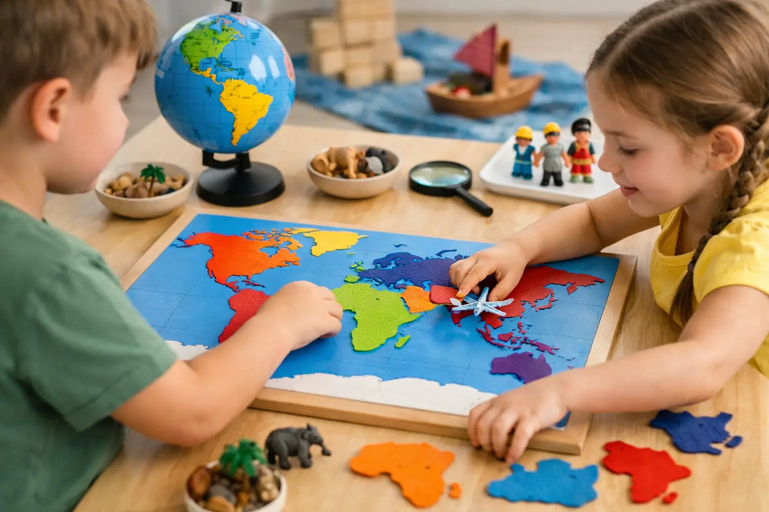
A blank world map can make seven continents feel like a memorization test. A game makes it feel like a challenge worth winning. To teach continents through play, give learners something to spot, sort, move, guess, or explain - then let each round build on the last.
This approach works for early learners seeing a map for the first time, students preparing for a geography unit, and adults who want to rebuild world knowledge without opening a textbook. The goal is not to rush through names. It is to help players form a mental picture of where each continent sits, what makes it distinctive, and how it connects to the rest of the world.
Why play makes continent learning stick
Continents are big ideas. They are easier to remember when they come with visual anchors, physical movement, and quick decisions. A learner who places South America on a map, notices its long shape, and earns a point for placing it correctly has done more than repeat a name. They have created a memory with context.
Games also make mistakes useful. Getting Asia and Europe mixed up is not a failure when the next round gives a second chance. That low-stakes repetition matters. Players can test a guess, get feedback, and try again before the information fades.
The best activities are short enough to repeat. Five focused minutes every day usually beats one long session of cramming. Keep the rules simple, change the challenge, and let curiosity do some of the work.
1. Run a fast map race
Put a world map on a screen, whiteboard, or table. Call out a continent and ask players to point to it, tap it, or place a marker on it. Start with no timer. Once everyone knows the basic layout, add a little speed.
The key is to avoid turning every round into pure reaction time. After a correct answer, ask one follow-up: “What ocean is beside it?” or “Which continent is north of it?” These small prompts teach location relationships, not isolated labels.
For solo play, cover the labels and reveal one continent at a time. For groups, give each player a different color marker. A point for a correct placement is enough. The game stays friendly when accuracy matters more than shouting first.
2. Build a floor-size world map
If learners can move, use the room. Mark rough continent shapes on the floor with painter’s tape, paper, or signs. It does not need to be perfectly to scale. It needs to show relative position: North America above South America, Africa between the Atlantic and Indian Oceans, Australia southeast of Asia.
Call out a prompt: “Stand on the continent with the Sahara Desert,” or “Jump to the continent directly south of Europe.” Movement adds energy, especially for younger students who have been sitting still too long.
There is one trade-off. A floor map is memorable but takes setup time. Save it for the beginning of a unit or a review day, then use quick screen-based games to keep the knowledge fresh.
3. Play continent clue cards
Clues turn geography into a small mystery. Write one fact on each card and let players identify the continent before revealing the answer. Use clues that point to recognizable features, but do not make every card depend on a single famous landmark.
Try clues such as: “I am the only continent that is also a country,” “I contain the Andes Mountains,” or “I am the coldest continent and have no permanent residents.” Once players are ready, make the clues more layered: “I am mostly in the Southern Hemisphere, but part of me reaches north of the equator.”
This activity works because it gives names meaning. Antarctica becomes more than a place at the bottom of a map. Africa becomes connected to deserts, rivers, languages, cities, and a position between two oceans.
4. Sort the mixed-up facts
Make a set of cards with continent names, landmark names, animals, climates, countries, and map facts. Shuffle them, then challenge players to sort each card under the right continent. A card reading “Amazon rainforest” belongs with South America. “Mount Kilimanjaro” goes with Africa. “Great Barrier Reef” goes with Australia.
Some facts need care. Continents are not the same thing as countries, and classifications can vary by school system. For example, Europe and Asia are often taught as separate continents even though they share one landmass. Explain the convention you are using before the game starts. Clear rules make a game fairer and prevent a good question from sounding like a wrong answer.
For older players, add a few “discuss” cards rather than forcing every fact into a neat box. Geography gets more interesting when learners see that maps are useful models, not the whole story.
5. Turn the globe into a guessing game
One player secretly chooses a continent. Everyone else asks yes-or-no questions to narrow it down. “Is it mostly in the Southern Hemisphere?” “Does it touch the Indian Ocean?” “Is it larger than Europe?”
This is a simple way to teach continents through play because players practice comparison without being handed the answer. They have to notice scale, hemispheres, coastlines, and neighboring oceans. The strongest questions reveal the most information, so each round quietly builds reasoning skills too.
Keep rounds short. Limit the group to five questions before a guess, or let each player ask only one question per turn. Constraints create momentum and stop the game from becoming an endless quiz.
6. Make daily geography a habit
A single big activity can create excitement. A tiny daily challenge creates recall. Put up one map prompt each day: identify a highlighted continent, name the continent west of Africa, or choose the continent that contains a given country.
Daily puzzles work particularly well when the answer arrives with a brief explanation. If a player misses a country flag or capital, connect it back to the map: which continent is it in, what region is nearby, and what visual detail can help next time? Flagdle is one example of how a quick shared geography challenge can turn a few minutes of play into a repeatable learning habit.
Do not expect a flag game alone to teach continents. It is better as a bridge. Use country-based clues to reinforce the bigger map, then return to continent-level questions so learners can connect details to the whole.
7. Let players create the next round
The moment learners write clues, choose map locations, or design a challenge for someone else, they stop being passive participants. Ask them to create three clues for a continent without using its name. Or have them draw a rough world map from memory, then add one feature that makes each continent easier to recognize.
Their choices reveal what they understand. If someone puts Egypt in Asia, you have a useful opening to talk about transcontinental countries and the Sinai Peninsula. If they use “pandas” as the only clue for Asia, ask for a map-based clue too. The point is not to catch errors. It is to make thinking visible.
Keep the game fair and the map meaningful
A good geography game gives enough information to make progress. Very young learners may need a labeled reference map nearby. More experienced players can work from outlines, silhouettes, or clues. Adjust the difficulty by changing the support, not by making the rules confusing.
It also helps to use precise language. Australia can mean the country, while Australia or Oceania may describe a broader geographic region depending on the lesson. Antarctica has no countries. North America includes Central America in the common seven-continent model. These details do not need to interrupt every round, but they deserve a clear answer when they come up.
End each game with one quick look at the full map. Ask players to find the continent they just used and name one neighbor, ocean, or feature connected to it. That final ten seconds turns a correct guess into a stronger map memory.
The next time a learner sees a world map, they should not see seven words waiting to be memorized. They should see familiar places, patterns, and the next question they want to answer.