World Regions Study Guide for Faster Map Recall
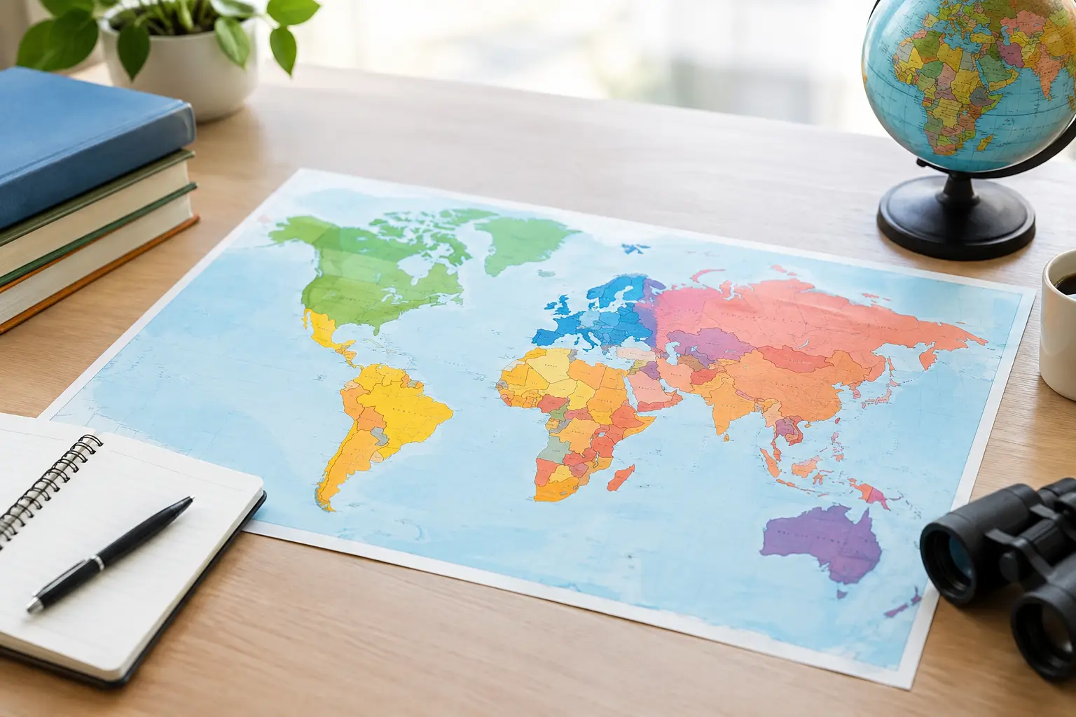
A map question can feel unfair when every country looks like a tiny shape in a sea of labels. The fix is not memorizing every border at once. A good world regions study guide gives your brain a framework first: learn the neighborhood, then the countries, then the details that make each place stick.
Think of regions as map shortcuts. When you know that Laos sits in mainland Southeast Asia, or that Uruguay is tucked between Brazil and Argentina, you have more than a fact. You have a location with context. That is what makes geography recall faster in a quiz, a daily flag game, or a conversation about the news.
Start With the Big Map, Not the Country List
Most people learn geography in the hardest possible order: a long alphabetical list of countries. Alphabetical order helps with spelling. It does almost nothing for map memory.
Start with continents, then split them into commonly used world regions. The exact number of regions can vary by textbook, classroom, or game. That is normal. Geography has physical regions, cultural regions, political regions, and economic groupings, and they do not always match perfectly. For studying country locations, use a simple regional map first.
A practical starting framework includes North America, Central America and the Caribbean, South America, Europe, North Africa, Sub-Saharan Africa, Southwest Asia, Central Asia, South Asia, East Asia, Southeast Asia, and Oceania. Antarctica matters too, even though it has no sovereign countries.
Do not get stuck debating whether a country belongs to Europe, Asia, or both before you can find it on a map. Learn its position first. Regional labels are tools, not traps.
Build anchors in every region
An anchor country is one you can locate instantly. It gives you a reference point for nearby countries. Choose large, distinctive, or frequently mentioned places before moving to smaller ones.
In South America, Brazil is an obvious anchor. From there, you can place Argentina below it, Bolivia inland, Chile along the long western edge, and the Guianas along the north coast. In East Africa, start with Ethiopia, Kenya, Tanzania, and Uganda. In Europe, use Spain, France, Germany, Italy, and Poland as early anchors.
Once the anchors are familiar, fill in the spaces between them. This turns a crowded map into a set of smaller, solvable puzzles.
Learn Borders as Stories
Country borders are easier to remember when they create a pattern. Instead of asking, “What countries are in this region?” ask questions that give each country a job on the map.
Which country forms the southern tip of Africa? South Africa. Which long country follows South America’s Pacific coast? Chile. Which country is landlocked between Romania and Ukraine? Moldova. Which country sits on both Europe and Asia? Turkey.
These clues are not random trivia. They connect shape, direction, and neighbors. Your memory gets several ways to retrieve the same answer.
Use directional language constantly: north of, east of, between, along the coast, across the strait, at the tip, surrounding. A country without a directional relationship is just a name. A country with neighbors becomes part of a map.
For island nations, connect location to the nearest major landmass or body of water. Japan lies east of the Korean Peninsula. Madagascar sits off southeastern Africa. New Zealand is southeast of Australia. The Caribbean is not one blob of islands - it is an arc between North and South America, with the Greater Antilles and Lesser Antilles creating useful subgroups.
A World Regions Study Guide That Works in Short Sessions
You do not need an hour-long cram session to improve. In fact, shorter rounds are often better because they force active recall instead of passive map staring.
Try a seven-day rotation. Spend each day on one region, then use the final day for a mixed review. A session can take 10 to 15 minutes: look at a blank map, place countries from memory, check the answers, then repeat the missed ones.
Here is a simple rhythm that keeps practice useful:
- Start with five anchor countries and name their neighbors.
- Add five smaller or harder countries in the same region.
- Review capitals only after you can place the countries.
- End with one flag, map, or distance-based challenge without notes.
The order matters. Capitals are much easier when the country already has a home in your mind. Trying to memorize capitals before locations creates two disconnected facts. Place the country first, then attach its capital, flag, language family, or major city.
If you only have three minutes, do one region and one task. Name the Baltic countries. Trace the countries of Central America from north to south. Identify the landlocked countries in southern Africa. Small wins compound.
Use Flags as Regional Clues, Not Just Visual Trivia
Flags are memorable because color and pattern travel quickly through your brain. They can also become useful regional prompts.
The Nordic cross points you toward Northern Europe. The red, yellow, and green colors seen in several African flags can lead into a discussion of Pan-African symbolism, though color alone is never enough to identify a country. Crescent-and-star designs appear across several regions and traditions, so use them as a starting clue, not a final answer.
Look for combinations, not one detail. A flag’s colors, stripe direction, symbols, and proportions all matter. Then connect the answer back to a map. If you correctly identify Vietnam’s flag, take one extra second to picture Vietnam’s long coastline and its neighbors: China, Laos, and Cambodia.
That extra step is where a flag game becomes geography practice. Flagdle is useful for this kind of quick daily recall because each guess can prompt a wider question: Where is this country, what region is it in, and what nearby flag could be confused with it?
Know the Regional Trouble Spots
Some parts of the world are naturally harder to learn. That is not a failure of effort. Dense borders, small islands, recent name changes, and similar-looking flags create real difficulty.
Europe can be challenging because many countries are compact and borders are close together. Learn it in clusters: Iberia, the British Isles, the Nordics, the Baltics, Central Europe, the Balkans, and the Mediterranean. The Balkans deserve patience. Focus on a few reliable shapes and coastlines rather than trying to memorize the entire area in one pass.
Africa rewards pattern recognition. Start with the broad outlines: the Maghreb in the northwest, the Horn of Africa in the east, the Great Lakes area, the long southern coastline, and the large central interior. Then add country groups around rivers, deserts, and coasts.
Oceania presents a different challenge. The countries are spread across a huge ocean, so a standard world map can make them seem invisible. Learn the three broad island groupings - Melanesia, Micronesia, and Polynesia - while also remembering the major anchors of Australia, New Zealand, and Papua New Guinea.
For places with disputed status or changing political recognition, follow the terminology your class, quiz, or source uses. Maps can reflect political choices as well as geography. It is fine to learn the common answer expected in your setting while understanding that real-world borders and identities can be complex.
Test Recall Before You Feel Ready
The fastest way to find weak spots is to test yourself early. Do not wait until a region feels perfect. Looking at a labeled map creates familiarity, which can feel like knowledge without proving you can retrieve anything.
Use blank maps, timed country prompts, and reverse questions. Instead of only answering “Where is Mongolia?” ask “What country lies between Russia and China?” Instead of only matching a capital to a country, see a country outline and name both the country and its capital.
Mistakes are useful data. Keep a short “missed twice” list rather than restarting the entire region. If you repeatedly mix up Slovenia and Slovakia, compare their positions, capitals, flags, and neighboring countries side by side. If you confuse Niger and Nigeria, connect each name to its map location and to the Niger River rather than relying on spelling alone.
Make Geography a Daily Habit
Consistency beats a giant weekend study sprint. One new region fact per day adds up quickly, especially when you revisit it through different formats. A flag challenge trains visual recognition. A capital quiz trains association. A distance question trains spatial thinking. A blank map trains pure recall.
Keep the goal simple: see a country, place it, and connect it to something nearby. You do not need perfect knowledge of every border to start enjoying geography more. The next time a country appears in a headline, on a flag, or in a game, pause for one second and ask where it belongs. That tiny habit turns the world map from a wall of names into a place you can actually navigate.