How to Use Distance Clues in Geography Games
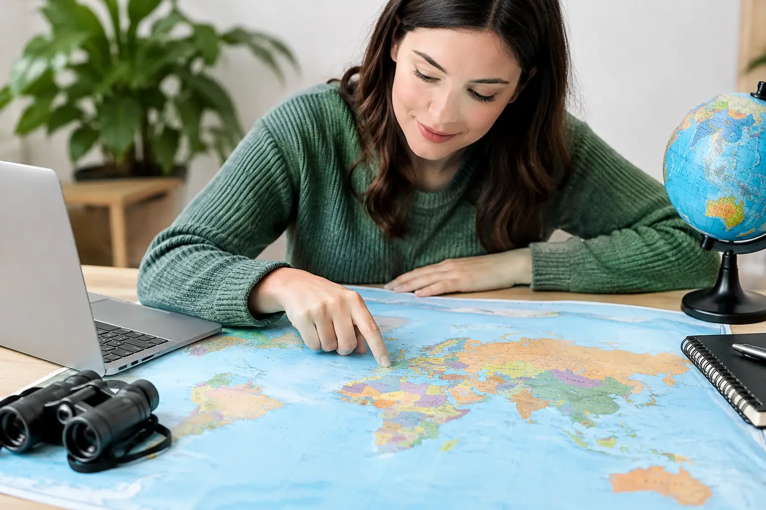
A distance clue can turn a wild country guess into a map problem you can actually solve. If a geography game says the answer is 1,200 miles away, the goal is not to picture every country on Earth. The goal is to use that number to draw a smaller search area. Learning how to use distance clues means turning a vague guess into a series of quick, logical eliminations.
Distance-and-direction games reward a different skill than flag or capital trivia. You still need country knowledge, but you also need a sense of scale: how wide continents are, which countries sit near one another, and when an ocean makes a guess impossible. The good news is that this skill builds quickly when you use the clues in the right order.
Start with the distance, not the country list
When you see a distance, translate it into a rough travel radius around your last guess. Imagine a circle centered on that country. The answer sits somewhere on the edge of that circle, not anywhere inside it.
You do not need perfect measurements. A useful mental shortcut is that 1,000 miles is roughly the distance from New York City to Miami, or from London to Rome and a bit beyond. At 3,000 miles, you are often moving across a large chunk of a continent or between continents. At 6,000 miles or more, expect a major global jump.
The key word is rough. Games may measure distance from country centers, capitals, or another fixed point. Large countries can also create surprising results. A clue from one side of Canada, Russia, or the United States may feel much farther or closer than you expect. Use the number to rule out clearly wrong regions, not to demand pinpoint accuracy from your first move.
Read distance in broad bands
Instead of treating every number as exact, sort it into a band. Under 300 miles usually means neighboring countries or countries separated by a narrow sea. Between 300 and 1,000 miles suggests the same subregion or nearby parts of a larger region. Between 1,000 and 3,000 miles can cross several borders, a sea, or a sizable section of a continent. Above that, think globally.
For example, if your guess is Italy and the answer is 150 miles away, it is probably not Poland. Look first at nearby countries such as Switzerland, Austria, Slovenia, Croatia, or tiny states in the area. If the clue says 2,500 miles, shift your attention well beyond central Europe.
This approach prevents a common mistake: seeing a number like 800 miles and jumping to a country that simply feels nearby. Geography games are full of countries that look close on a flat map but are farther apart than expected.
How to use distance clues with direction
Distance becomes far more useful when paired with a direction. A clue that says the answer is northeast and 900 miles away gives you a specific slice of the map. You are no longer searching a full circle. You are searching one arc of it.
Start by asking two simple questions: What lies in that direction from my guess? And does it sit at about the right distance? Direction should usually narrow the region first, while distance chooses among the countries within that region.
Say you guess Kenya and receive a clue showing that the answer is northwest, around 1,000 miles away. Your next thought should not be a random country in Africa. Look toward Ethiopia, South Sudan, Uganda, Sudan, and the eastern part of the continent. Then compare their rough positions and size. A country directly west may be close in distance but fail the directional clue. A country far north may fit the direction but be too far away.
Treat diagonal directions generously. Northeast does not mean a perfect 45-degree line. It can include countries that are mostly north with some eastern movement, or mostly east with some northern movement. The farther away the target is, the more forgiving your mental angle can be.
Use the arrow to avoid map-flip errors
Many wrong guesses come from simple orientation mistakes. Players know a country is near another country, but mix up east and west or assume north means "higher on the map" without checking their starting point.
Pause for one second before guessing. Find your last country mentally, then trace the stated direction outward. If the clue points southeast from Spain, do not scan northern Europe just because France is nearby. Follow the arrow first. The map will get smaller fast.
Make your second guess a test, not a hunch
Your first guess gives you an initial clue. Your second guess should be chosen to create useful information, even if it is not your favorite answer.
A strong test guess sits in a different part of the likely area. If your first guess puts the answer somewhere in northern Africa, pick a country on one side of that region rather than another country right next to your first guess. The new distance and direction can reveal whether the target is farther east, west, north, or south.
Think of it like adjusting a camera lens. One clue gives a blurry outline. A second clue from a new location sharpens it.
For instance, imagine you start with Turkey. The game says the target is 1,100 miles southeast. Several possibilities may come to mind across the Middle East or northeastern Africa. Instead of guessing another country close to Turkey, choose one farther south or east that still seems plausible. If that next clue points back northwest, you have created a much tighter overlap between the two possible search areas.
This is why a "wrong" guess can still be productive. In a three-try game, every attempt needs to earn information.
Triangulate with two clues
Triangulation sounds technical, but the idea is simple. Each guess creates an estimated circle around your location. When you make a second guess, its distance clue creates another circle. The answer should be near where those circles meet.
You will rarely draw literal circles, and you do not need to. Mentally compare the two clues. If the target is 1,500 miles east of your first guess and 700 miles north of your second guess, look for the region that satisfies both relationships.
Direction adds even more value. If one clue says northeast and the next says southwest, the target lies between the two guesses. If both clues point east, your guesses may both be west of the answer, so keep moving that way.
Large bodies of water are useful here. They act as natural constraints. If the clues suggest a point 600 miles east of Greece and 700 miles north of Egypt, the answer is not likely to be in western Europe. The eastern Mediterranean and nearby land become the sensible place to search.
Watch for the clues that can mislead you
Distance clues are powerful, but they are not magic. Several details can make a reasonable answer look wrong at first.
First, country size matters. The distance from a country’s center can differ sharply from the distance between the nearest borders. A clue involving Brazil, Australia, Indonesia, Russia, Canada, or the United States deserves extra flexibility.
Second, maps distort visual scale. Mercator-style maps make high-latitude places look much larger than they are and can distort your sense of east-west distance. Greenland may appear enormous, and northern countries can feel closer across the top of a map than they are in real distance.
Third, islands and overseas territories can complicate instinct. A country may have islands far from its mainland, but most geography games use a consistent country reference point. Do not build your entire strategy around edge cases. Make the best regional call, then let the next clue correct you.
Finally, do not overreact to a small difference. If you estimate 850 miles and the clue says 920, you may still be looking in the right place. A difference of a few hundred miles is often less meaningful than getting the direction right.
Build a better mental map through play
The fastest way to improve is to notice patterns after each round. You do not need to memorize every distance between every capital. Focus on anchors: the Mediterranean, the Caribbean, the Horn of Africa, Central Asia, Southeast Asia, and the gaps between major regions.
As you play distance-and-direction modes, make small observations. Portugal is much farther from eastern Europe than it looks. Southern Africa is a long way from North Africa. Japan sits east of much more of Asia than many players first assume. Those quick corrections become useful instincts.
Flagdle-style daily geography challenges work well for this because the pressure stays low. You get a short puzzle, a clear result, and another chance tomorrow. Over time, the map stops feeling like a collection of isolated facts and starts feeling connected.
A simple routine for every clue
When the next distance clue appears, take a quick three-part approach. First, place your guess on the map. Second, follow the direction and estimate the distance band. Third, choose a next country that either fits the likely area or tests the edge of it.
Do not chase perfection on every turn. The best players are not measuring the planet in their heads. They are calmly removing impossible places and making each guess more informative than the last.
The next time a clue sends your answer 1,400 miles northeast, picture the arc, trust the broad region, and make the map give up one more secret.