Country Borders Learning Guide for Daily Play
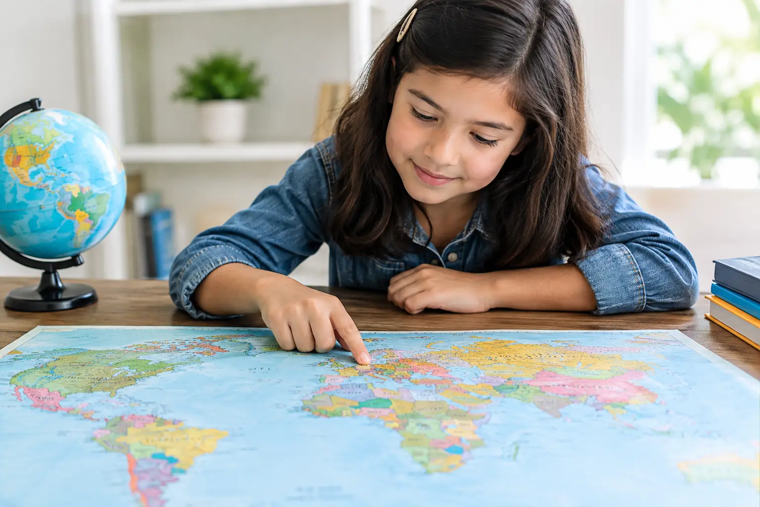
A map question can look easy until the country has seven neighbors, a coastline, an exclave, or a border you only notice when you zoom in. This country borders learning guide turns that blank-map feeling into a repeatable skill: recognize a place, connect it to nearby countries, and recall it quickly when the next challenge appears.
You do not need to memorize every boundary in one sitting. The fastest progress comes from building a mental map in small, connected pieces. Learn one region, test yourself, make a few mistakes, and return tomorrow. Geography sticks when it becomes a game of patterns rather than a stack of facts.
Start With Regions, Not Random Countries
A country is easier to remember when it has a home on the map. Before trying to name every neighbor of every country, get comfortable with the major shapes and regional clusters. Think of South America as a nearly self-contained puzzle, Europe as a dense network of short borders, and island nations as useful breaks from border-heavy recall.
Start with countries that have standout positions. Portugal sits on the western edge of the Iberian Peninsula and borders only Spain. Italy extends into the Mediterranean with France, Switzerland, Austria, and Slovenia along its northern side. Thailand sits in mainland Southeast Asia, where its shape helps point toward Myanmar, Laos, Cambodia, and Malaysia.
These anchor countries give you reference points. Once you can place them without hesitation, nearby countries stop feeling like separate trivia questions. They become the next move in a connected map.
Use Shape, Coastline, and Direction Together
Borders make more sense when you pair them with physical clues. A coastline often removes half the possibilities. A country along the Atlantic has no western land neighbor; a country surrounded by land needs a different memory strategy.
Direction matters just as much. Ask simple questions: What is north of this country? Which neighbor sits on the coast? Is there a narrow country between two larger ones? Those prompts are more useful than trying to recite a list in alphabetical order.
For example, Poland is a strong central-European anchor. Germany lies to its west, the Czech Republic and Slovakia sit below it, Ukraine and Belarus are to the east, and Lithuania is above. You do not have to learn that sequence as a speech. Picture Poland in the center, then pull the surrounding countries into place.
Country Borders Learning Guide: Build Recall That Lasts
The goal is not simply recognizing a country when its name is given. Real map confidence works both ways. You should be able to see a country and name its neighbors, then hear a neighbor’s name and locate the country beside it.
Try a three-part recall loop. First, look at a map for a short stretch and identify one country. Second, hide the labels and name its neighbors from memory. Third, check the map immediately. Fast feedback matters because it corrects a wrong connection before it settles in.
When you miss an answer, avoid treating it as a failure. Make the mistake useful. If you guessed that Hungary borders Poland, notice what sits between them: Slovakia. That tiny correction is more memorable than rereading a fact you already knew.
Keep sessions short. Five focused minutes can be enough to learn a regional cluster, especially if you return to it later. Long study sessions feel productive, but spaced recall usually wins. A daily puzzle format helps because it gives your brain another chance to retrieve the map without turning geography into homework.
Learn the Border Types That Cause Confusion
Not all borders work the same way, and the exceptions are often the most interesting part of the map. A country can have land borders, maritime boundaries, separated territories, or borders that are presented differently depending on the map source.
Land borders are the simplest starting point. Canada and the United States share the world’s longest international land border. Bolivia is landlocked, so every route outward crosses another country. These facts shape how you remember each place.
Then there are countries that seem like they should connect but do not. Spain and Morocco are separated by water in most places, though Spain has small territories in North Africa. Malaysia is split between the Malay Peninsula and part of Borneo. Russia has the Kaliningrad exclave separated from the rest of the country. These cases are worth learning after the basic regional map is solid.
Maritime boundaries can also complicate a question. Two countries may be very close across a narrow stretch of water without sharing a land border. If a game asks for neighboring countries, check whether it means land neighbors, nearby countries, or both. The answer depends on the rules.
Political boundaries deserve care, too. Some borders and territories are disputed or represented differently by different governments and mapmakers. Good geography learning means recognizing that maps are useful models, not final answers to every political question. When a border is contested, learn the context as well as the location.
Turn Neighbor Lists Into Map Stories
Raw lists fade fast. Small stories and patterns give them somewhere to live in your memory.
Take the Baltic states. From north to south, Estonia, Latvia, and Lithuania form a clean vertical chain on the Baltic Sea. Lithuania is the one that connects to Poland, while Latvia sits between Estonia and Lithuania. That is a map story: three stacked countries, one southern connection to Poland.
Central America offers another useful chain. Moving southeast from Mexico, you reach Guatemala, Belize, Honduras, El Salvador, Nicaragua, Costa Rica, and Panama. You will eventually need to remember that Belize has a different position from its neighbors and that El Salvador borders only Guatemala and Honduras. But first, learn the route. Details become easier once the route feels familiar.
Africa rewards this approach too. Countries are numerous, and some borders are unexpected. Start with a subregion such as southern Africa. Find South Africa, then notice how it wraps around Lesotho and touches Namibia, Botswana, Zimbabwe, Mozambique, and Eswatini. One shape creates several memorable connections.
Make Daily Games Do More Than Test You
A geography game is most useful when you turn each result into a quick learning moment. If you identify a flag or country correctly, ask one extra question: What borders it? If you miss, locate the answer on a map and name one neighbor before moving on.
This takes seconds, not a full study session. The extra step connects symbols, names, locations, and borders in one loop. A flag becomes more than a flag. It becomes a cue for a country’s region, nearby places, capital, and shape.
Flagdle can fit naturally into this routine because a daily country challenge gives you a fresh prompt without asking for an account or a long commitment. Use the result as your starting point, then spend a minute tracing the country’s surroundings in your head.
Friendly competition helps, but accuracy matters more than speed at first. Share a score if you want. More importantly, compare how you got there. Did you recognize the flag colors? Did a border clue rule out another country? Different paths to the answer make your knowledge more flexible.
Test Yourself in Both Directions
Many learners only practice one prompt: “Which countries border this one?” Switch it around. Ask, “Which country borders both Germany and Ukraine?” Then try, “What is the only country between Portugal and the rest of Europe?” These reverse questions force you to use the map, not just repeat a memorized list.
You can also create quick contrast pairs. Norway and Sweden share a long border, but Norway’s coastline is far more distinctive. Nepal sits between India and China, while Bhutan also sits between those two countries but farther east. Similar relationships are exactly where your memory gets sharper.
If a country has many neighbors, do not chase perfection immediately. Learn the closest four first, then add the rest on later passes. Russia, China, and the Democratic Republic of the Congo are better treated as ongoing map projects than one-question challenges.
Keep Curiosity on the Map
The best border learners are not the people who never forget an answer. They are the people who notice a surprising connection and want to check it. Why does The Gambia almost follow a river? Why is there a tiny country inside South Africa? Why does one border run so straight while another twists through mountains?
Follow that curiosity for a minute after your next daily challenge. One well-placed question can turn a country from a name you recognized into a place you can find, explain, and remember.