How to Teach Country Recognition Through Play
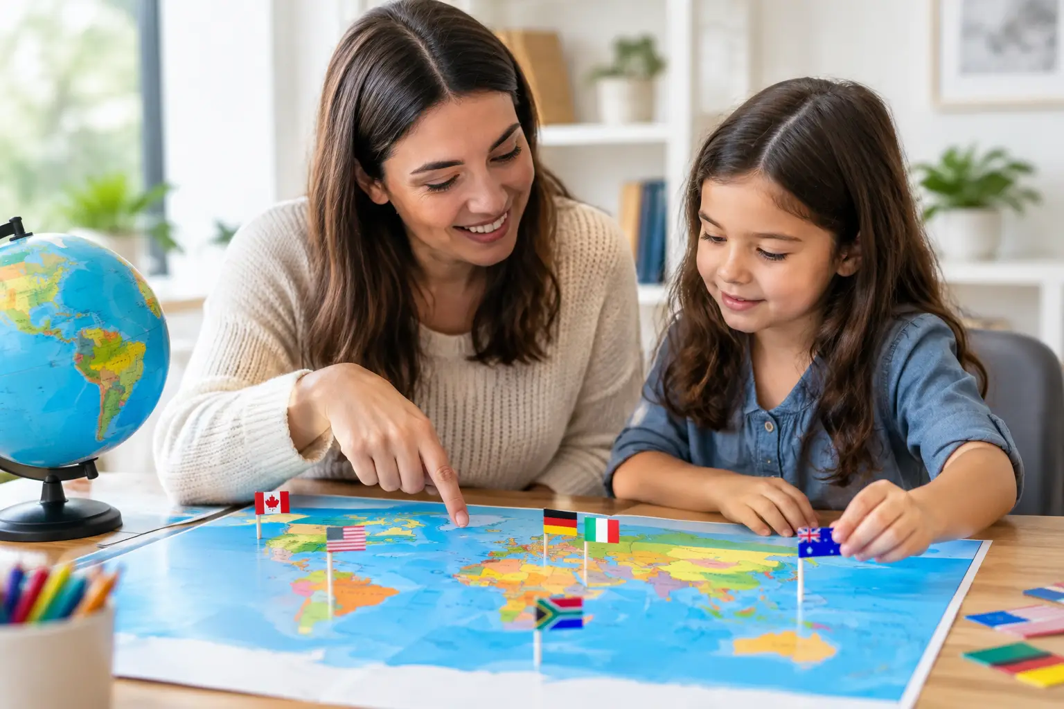
A student who recognizes Italy by its boot-shaped outline but cannot find it on a map is closer than they think. The goal of how to teach country recognition is not to force-memorize 195 names. It is to build fast, useful connections between a country’s name, location, flag, neighbors, capital, and a few memorable clues.
Country recognition grows when learners see the same place from more than one angle. A flag creates a visual cue. A map gives it a home. A capital, landmark, language, or bordering country adds another path back to the answer. Turn those connections into short, repeatable challenges, and geography starts to feel less like a test and more like a game worth replaying.
Start with recognition, then build recall
Recognition and recall are related, but they are not the same skill. Recognition asks, “Which country is this?” while recall asks, “What country is here?” A learner can succeed at the first task before they are ready for the second. That is normal, and it is useful.
Begin with clear visual prompts: a flag, an outlined shape, a highlighted map location, or a set of two or three possible answers. This lowers the pressure while helping learners notice distinctive details. Then gradually remove support. Instead of showing a labeled map, show the country’s location. Instead of offering choices, ask for the name.
This progression matters because an empty map can feel like a wall. A small clue turns it into a solvable puzzle. Frequent small wins keep learners willing to try again.
Teach countries in meaningful groups
A random list of countries is hard to retain because there is nothing to attach each answer to. Geography becomes easier when countries are organized into groups that make sense on a map.
Start with one region at a time. For example, learners might first identify the large and visually distinct countries in South America: Brazil, Argentina, Chile, Peru, and Colombia. Once those anchors are familiar, add the smaller countries around them. Uruguay makes more sense when learners already know it sits between Brazil and Argentina. Ecuador is easier to place once they recognize the west coast and the line of the equator.
Use more than political regions when it helps. Countries can also be grouped by islands, coastlines, mountain ranges, flag colors, shared borders, or language families. The best grouping depends on the learner. A traveler may remember countries through planned destinations. A sports fan may remember them through national teams. A young learner may respond best to shapes, colors, and simple map stories.
Be careful with shortcuts that are memorable but inaccurate. “Africa is one country” jokes or broad cultural stereotypes may stick, but they teach the wrong lesson. A useful clue should point learners toward a real geographic relationship.
Build anchor countries first
Every region has a few countries that give the map structure. Think of them as the corners of a puzzle. In Europe, Spain, France, Italy, Germany, and the United Kingdom offer strong starting points. In Africa, learners may begin with Egypt, South Africa, Nigeria, Kenya, and Madagascar. In Asia, China, India, Japan, Indonesia, and Saudi Arabia create useful reference points.
After learners can spot the anchors, ask simple relationship questions: Which country is north of South Africa? Which island nation lies east of China? What country sits between the United States and Guatemala? These prompts teach position, not just isolated names.
Use a clue ladder instead of giving answers
A good geography challenge gives just enough information to invite a guess. Rather than immediately revealing the answer, offer clues from broad to specific. A country might begin as a hidden flag, then gain a continental hint, a neighboring-country clue, and finally a capital or landmark clue.
This approach gives wrong answers a purpose. If someone guesses Portugal when the answer is Brazil, they have still noticed a shared language connection. If they confuse Slovakia and Slovenia, the correction can focus on where each country sits and how their flags differ. The moment of correction is where the memory gets stronger.
Keep feedback short and useful. “Correct: Laos is landlocked in Southeast Asia, between Thailand and Vietnam” gives a learner a place to store the answer. “Wrong” does not.
A simple daily game can provide this loop in minutes. Flagdle, for example, uses a partially hidden flag and limited guesses, turning visual recognition, elimination, and feedback into a quick shared geography challenge. The format works because it asks for attention without demanding a long study session.
Make retrieval practice the main event
Looking at a map feels productive, but trying to remember is what strengthens memory. After showing a set of countries, pause and ask learners to identify them without labels. A few seconds of effort is better than immediately supplying the answer.
Try alternating prompt types. Show the name of a country and ask for its location. Show the flag and ask for the country. Show the country and ask for its capital. Show a neighboring country and ask what lies beside it. Each format reinforces the same knowledge from a different direction.
Keep rounds short. Five countries in three minutes can be more effective than an hour spent passively scanning a giant map. Short rounds also make it easier to return tomorrow, which is where real progress happens.
Repeat on a schedule that leaves room to forget
Repeating the same country five times in one sitting can create a false sense of mastery. Learners recognize it because it is still fresh, not because they truly know it. Bring it back later that day, then a few days later, then the following week.
A practical rhythm is to mix new and old material. For every five new countries, include several that have appeared before. If a learner misses one repeatedly, bring it back more often and pair it with a stronger clue. If they answer it instantly, space it out.
The goal is not perfect streaks on day one. The goal is durable recognition a month from now.
Let maps, flags, and facts support one another
Flags are powerful visual hooks, especially for countries with bold, distinctive designs. Japan’s red circle, Jamaica’s gold saltire, and Nepal’s unusual double-pennant shape are easy entry points. But flags alone can cause confusion when designs share colors, stripes, stars, or crosses.
Pair every flag with a map moment. After a correct answer, show where the country belongs and name one nearby country. Then add one fact that helps rather than overwhelms. It could be an island location, a capital, a major river, or a recognizable border shape.
Use facts sparingly. Learners do not need a paragraph of trivia to recognize Botswana. “Southern Africa, north of South Africa, known for a large diamond shape on its flag” may be enough for now. More detail can come after the country has a place in memory.
Create friendly competition without making mistakes costly
Country recognition games work well in classrooms, families, and friend groups because answers are easy to compare. The best competition rewards improvement, not just existing knowledge. A learner who moves from two correct answers to six should feel that progress as clearly as the person who knows every flag.
Try a shared daily challenge, a region-of-the-week score, or a team round where players can discuss one clue before committing to an answer. Teams are especially useful for beginners because learners hear how others reason: “It is an island near Australia,” or “That flag has a cedar tree, so I think it is Lebanon.”
Avoid turning every miss into a public failure. Give people a chance to revise an answer after a clue, or award points for placing a country in the right region even when the exact name is wrong. Geography confidence grows faster when guessing is safe.
Check progress with useful questions
A final quiz should reveal what learners can use, not just what they saw most recently. Mix familiar countries with a few that have not appeared for a while. Ask location questions alongside flag questions. Include neighboring countries so learners show relationships, not only recognition.
If learners can identify a country but cannot place it, return to maps. If they can place it but confuse its flag, compare similar flags side by side and point out one distinguishing feature. If they know a region well but struggle worldwide, rotate regions rather than abandoning the routine.
Country recognition is built one quick decision at a time. Put a map within reach, make the next guess feel possible, and let tomorrow’s challenge bring the world back into view.